Harnessing the Power of Geospatial Technologies: From 2D/3D Mapping to BIM Integration
In the current construction industry landscape, technology is rapidly evolving, and geospatial intelligence plays a pivotal role in shaping various sectors. From basic 2D mapping to the intricate integration of Building Information Modeling (BIM) in 3D with Geographic Information Systems (GIS), these technologies are revolutionizing our observation and interaction with the world. This blog explores these essential geospatial domains, emphasizing their growing significance and utility in present and future applications.
Mapping in 2D and 3D
Conventional 2D mapping serves various purposes, from basic cartography to urban planning. However, the emergence of 3D mapping technology revolutionizes how we visualize landscapes and infrastructures. It offers a more detailed, realistic representation, crucial in sectors like real estate, city planning, and disaster management. The ability to manipulate and interact with 3D models enhances decision-making, providing insights that 2D maps cannot.
Utility Mapping
Utility mapping plays a vital role in public service management, encompassing the discovery, categorization, and labeling of subterranean infrastructure. It guarantees safety, reduces service disruptions, and streamlines future urban and rural development planning. Advanced tools such as Ground Penetrating Radar (GPR) empower experts to avert accidental damage to concealed utilities, preserving time, resources, and human lives.
Photogrammetry
Photogrammetry utilizes photography and dimensional analysis for precise feature and environment measurement and interpretation. It is instrumental in producing high-resolution maps, intricate 3D models, and extensive measurements from images. Its uses span across various fields, assisting in land surveying, archaeology, and the entertainment industry for crafting detailed CGI scenes and characters.
LIDAR
Lidar, short for light detection and ranging, employs laser light to densely sample the earth's surface, resulting in precise x, y, z measurements. Primarily used in aerial laser mapping applications, Lidar is gaining favor as a cost-effective alternative to conventional surveying methods like photogrammetry. Lidar generates extensive point cloud datasets that are manageable, visualizable, and analyzable. The key hardware components for a Lidar system include a collection vehicle (e.g., aircraft, helicopter, vehicle, tripod), a laser scanner system, GPS (Global Positioning System), and INS (inertial navigation system), which tracks the Lidar system's roll, pitch, and heading.
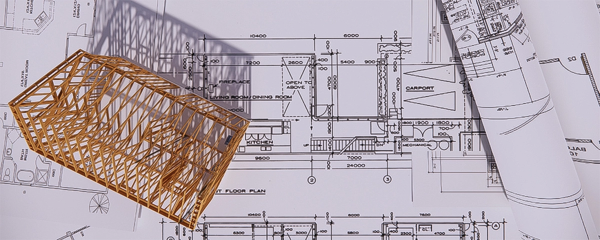
BIM with GIS
The integration of Building Information Modeling (BIM) and Geographic Information Systems (GIS) represents a pivotal shift in urban development and architectural design. BIM offers intricate digital building representations, while GIS combines various geographical data layers, delivering a holistic perspective on architectural projects within their environmental context. This fusion amplifies project efficiency, sustainability, and design excellence, establishing a sturdy framework for comprehensive analysis and strategic planning in extensive projects.
Conclusion:
At SK International, our commitment to cutting-edge technologies in the fields of geospatial intelligence, 3D mapping, utility mapping, and photogrammetry underscores our dedication to delivering transformative solutions to our clients. These technologies empower us to provide precise measurements, detailed visualizations, and efficient planning, creating tangible benefits for industries spanning from construction to environmental management. We pride ourselves on seamlessly integrating these advanced tools into our services. As we look to the future, we remain devoted to exploring and applying these technologies, continuously reshaping the landscape of our services and propelling innovation and progress in diverse sectors.