sk-international-logo
Geographic Information Systems
geographic- information-systems
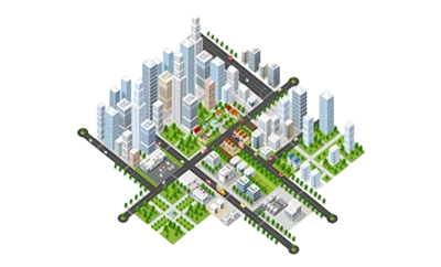
SK International offers Geo-Spatial services for:
  • Urban
  • Government
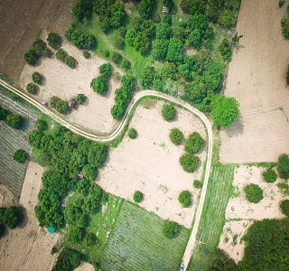
  • Agriculture
  • Utilities
  • Forestry sectors
Applications & Features

Mapping: SK International offers GIS services in Map creation/ updating and finishing. We also have capabilities in Mapping, spatial analysis like:

  • Base Maps
  • Urban Maps
  • Topographical Maps
  • Hydrological Maps
  • Cadastral Maps
  • Thematic Maps

Orthophotos: Generation of accurate orthophotos for 2D Mapping. Orthophoto-mosaic in different resolutions:

  • Urban Infrastructure
  • Environment Analysis
  • Navigation
  • LULC (Land USE LAND COVER)
  • Crop Monitoring and Suitability
  • Hydrological Applications

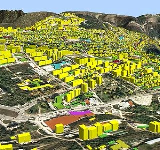
3D Mapping: 3D model generation, interpretation measurement and visualization of stereo imagery to derive 3D information, Generation of DTM, DSM and DEM, Generation of contours

Lidar: Lidar data processing for creation of Digital Terrain models, Digital Surface models & Digital Elevation models for various applications in Hydrology, Forestry and Agriculture.       

Diving Into The Details
Take a deeper look into our work in the civil engineering field
gis1
gis2
Our expert teams will reach out to you in no time
Request a Free Quote